The Ohio River Watershed

Ohio River Islands National Wildlife Refuge. Photo by the National Parks Service.
The Ohio River forms the majority of the western edge of West Virginia. It spans nearly 300 miles and forms the border between West Virginia and Ohio. There entire Ohio River runs 981 miles from the confluence of the Allegheny and Monongahela Rivers in Pittsburgh, PA. From there, the River meanders northwest toward Chester, WV. It then turns southward and flows to Kenova, WV, where it is joined by the Big Sandy River. The Ohio leaves WV and heads to Cairo, IL, where it meets the Mississippi.

The Little Kanawha River, the Kanawha River, the Guyandotte River, and the Big Sandy River all flow directly into the Ohio.
Fast Facts:
- The Ohio River Valley is home to 25 million people- that’s 10% of the population of the United States!
- Nationally, the Ohio River is the source of drinking water for more than five million people!
- The Ohio is home to 164 species of fish and over 100 species of mussels, including a number that are on the threatened and endangered species list.
- There are more than 30 islands and eyots rising above the Ohio, 17 of which are protected as part of the Ohio River Islands National Wildlife Refuge.
While full of wonders, the Ohio is also the most polluted River in the country. Historically, and today, the Ohio River serves an essential role in the nation’s transportation, manufacturing and energy production systems. These industries have left a legacy of polluted water and hurting communities.
Today, the Ohio and its seven major tributaries annually transport more than 350 million tons of coal, chemicals, petroleum and other industrial products on their waters. More than 35 coal-fired power plants are active along the Ohio and its tributaries.
Much of the West Virginia portion of the Ohio River Valley has already been developed into a corridor of polluting industries that threaten our land, water, and communities. And more are being proposed- especially petrochemical facilities.

A Thriving Ohio River Valley
The months and years ahead present a significant opportunity to change the outlook for the Ohio. Together, we can craft a new vision for what the Ohio River Valley can be for our communities and our wildlife neighbors.
We’re joining forces with regional and national allies to map this new vision. Waters around the nation like the Chesapeake Bay and Great Lakes receive millions of dollars in federal funding to preserve and protect their waters and revitalize communities.

Now, it’s the Ohio River Valley’s turn to receive well deserved help.
We are listening to people from across West Virginia about their vision for the Ohio. What we learn will advise a plan that will be delivered to Congress in 2023.
We’d love to talk with you about your time living and/or recreating along the Ohio. Please reach out to our Ohio River Coordinator and share your experience, priorities and concerns.
Recent News
 https://wvrivers.org/wp-content/uploads/2025/06/ORBA-Web.png
1080
1080
Maggie Stange
https://wvrivers.org/wp-content/uploads/2017/02/logo-1.png
Maggie Stange2025-06-19 15:28:002025-06-19 15:28:00You’re Invited: Learn About the Ohio River Basin Restoration & Protection Report
https://wvrivers.org/wp-content/uploads/2025/06/ORBA-Web.png
1080
1080
Maggie Stange
https://wvrivers.org/wp-content/uploads/2017/02/logo-1.png
Maggie Stange2025-06-19 15:28:002025-06-19 15:28:00You’re Invited: Learn About the Ohio River Basin Restoration & Protection Report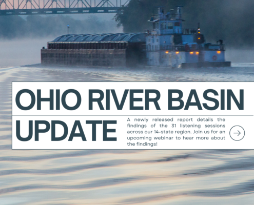 https://wvrivers.org/wp-content/uploads/2024/02/Copy-of-Our-Ohio-River.png
1080
1080
Maggie Stange
https://wvrivers.org/wp-content/uploads/2017/02/logo-1.png
Maggie Stange2024-02-23 08:47:502024-02-23 08:47:50🌊 Join Us for Ohio River Webinars! 🌊
https://wvrivers.org/wp-content/uploads/2024/02/Copy-of-Our-Ohio-River.png
1080
1080
Maggie Stange
https://wvrivers.org/wp-content/uploads/2017/02/logo-1.png
Maggie Stange2024-02-23 08:47:502024-02-23 08:47:50🌊 Join Us for Ohio River Webinars! 🌊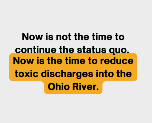 https://wvrivers.org/wp-content/uploads/2023/05/5.png
1080
1080
Maggie Stange
https://wvrivers.org/wp-content/uploads/2017/02/logo-1.png
Maggie Stange2023-05-24 12:42:502023-05-24 12:46:36Tell WV DEP: Protect the health of West Virginians. Reduce PFAS discharges into the Ohio River!
https://wvrivers.org/wp-content/uploads/2023/05/5.png
1080
1080
Maggie Stange
https://wvrivers.org/wp-content/uploads/2017/02/logo-1.png
Maggie Stange2023-05-24 12:42:502023-05-24 12:46:36Tell WV DEP: Protect the health of West Virginians. Reduce PFAS discharges into the Ohio River!