Scars from the Mountain Valley Pipeline
by Autumn Crowe
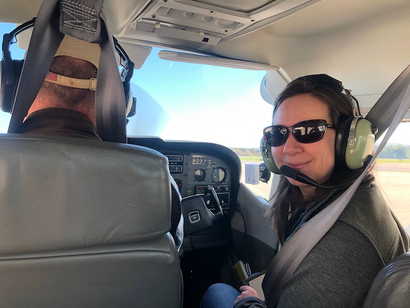
Autumn sits in the cockpit with Southwings volunteer pilot Scott Simonton.
I watched the pilot turning knobs and pressing buttons then the engine whirred to life. With that sound, a flood of memories came back when I used to fly in bush planes to assist remote Alaskan villages with environmental issues. Except this time, I wasn’t going to be flying through the rugged Alaskan mountains. I was in my home state of West Virginia and I would be flying to see the pipeline scars the Mountain Valley Pipeline carved out of West Virginia’s wild and wonderful mountains and valleys.
Based out of North Carolina, a non-profit called Southwings has been working with volunteer pilots to fly for environmental causes. Our pilot, Scott Simonton who’s based out of Sissonville, has mostly flown folks over mountaintop removal sites, but over the last few years, he’s been flying the paths of pipelines.
As we rumble down the runway, my heart beats with anticipation as the plane picks up enough speed and the wheels lift off the ground to get that feeling of floating, airborne!
I glance back at Jenny Harnish, our videographer who films and edits our pipeline video series, smiles plastered on our faces. We look down as our familiar little town of Lewisburg passes by underneath our wings and we head toward the Greenbrier River Valley. Our first waypoint is near Pence Springs, where MVP proposes to drill under the Greenbrier River. But the river valley is still fogged in so we continue north.
Out of the fog appears a large swath denuded of trees going straight up the mountainside. Little trucks and heavy equipment can be seen moving dirt around below. The scar continues along the ridgeline until it cuts down into the valley and stream below.
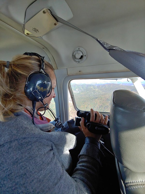
Jenny Harnish documents the scars of the Mountain Valley Pipeline as it crosses West Virginia’s rugged terrain.
The pilot slows the plane and does a few circles so Jenny can point her video camera out the window to attempt to capture the rugged terrain and steepness of the slopes. Seeing the construction from the air brings a different perspective. The pipeline scar continues along ridgetops as far as the eye can see in either direction dropping down into the valley and then appearing again on the next ridge.
Seeing the land from a plane really conveys the incredible impact humans have on the landscape. When flying in Alaska, there were great distances where I couldn’t see any human impact, so much of the landscape was wild and untouched. But flying over this region of WV, I was hard-pressed to find a spot that didn’t have an imprint of Man. At one point near Quinwood, we were seeing pipeline construction, coal mining, timbering and windmills all in the same viewshed.
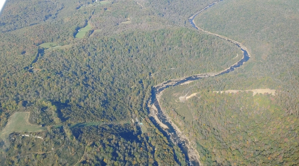
Aerial image of the Mountain Valley Pipeline’s proposed Gauley River crossing. In the photo you can see overland construction in progress on both sides of the river.
The most rugged landscape we encountered was our last waypoint before returning back, the Gauley River. This rugged river valley was the most undeveloped area we’d seen on the flight. Yet carving through the middle of this beauty was the MVP scar. We circled back to the direction we had come to try to capture the Greenbrier after the fog had burned off. I don’t know what was more heartbreaking, seeing the pipeline encroach on our majestic rivers, or thinking about the homes whose owners were forced to have this pipeline for a neighbor.
In the air, the magnitude of the Mountain Valley Pipeline and the fragility of our wild places really became clear. Headwater steams that feed rivers like the Gauley can be totally obliterated by reckless construction or even failed pollution prevention measures.


