Finding Peace in Nature: Big Schloss
“Stones in the Road? I save every single one, and one day I’ll build a castle”
-Fernando Pessoa, Portuguese poet
Dear Friend of WV Rivers,
Don’t you just love that quote? The optimism. The passion. The dedication! It’s brilliant.
You know as well as we do, there are a lot of stones in the road when it comes to the work we do together to protect our streams and rivers and defend our public lands. Collect these stones? Yes. Let them bring us down? Never.
So a few weeks ago, some friends and I turned off the TV (stone!), unplugged our phones (stone!), and found a much larger, and more literal, stone to savor in this week’s story of finding peace in nature at Big Schloss.
Nestled within the million-acre George Washington National Forest, which covers more than 100,000 acres in the Potomac Headwaters of West Virginia, is Wolf Gap Recreation Area. (Read more about the history of “Camp Wolfs Gap“, built in the 1930’s by an African-American Civilian Conservation Corps camp that “planted 16,000 acres of trees, constructed 45 miles of road, laid 100 miles of telephone lines, improved three miles of streams…”)
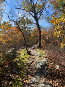
Big Schloss (German for “Castle”) is an outcrop of white sandstone approximately 4.4 miles north of the parking lot at Wolf Gap. A slightly strenuous hike at first with a vertical gain of 1,000 feet, the trail flattens out on the ridgeline for a relatively easy hike with a you-don’t-want-to-miss-it panoramic view at the end.
From the top of Big Schloss, hikers can get a 360-degree view of the Shenandoah Valley of Virginia to the East, and the Cacapon River Watershed near Wardensville to the West, including the Trout Run Valley, the Cacapon’s first major tributary.
The Cacapon River is one of the most beautiful, scenic waterways in West Virginia and is nationally recognized as one of the most ecologically-beneficial tributaries to the Chesapeake Bay. You can explore opportunities for camping, canoeing, hiking, fishing, and more in the Cacapon River Watershed in the Cacapon & Lost Rivers Land Trust’s Water Trail Guide.
WV Rivers is proud to support Friends of the Cacapon River in their mission of ensuring the Cacapon River remains one of West Virginia’s highest-quality rivers. Every year, spring rains wash tons of plastic, metal and other trash into the Cacapon—and every year, the Friends organize trash clean-up projects.
As part of their “Keep the Cacapon Clean” campaign, The Friends will be providing opportunities for community members throughout their watershed to track & report pollution sources. Concerned individuals can simply download the Water Reporter smartphone app (App Store/Google Play), create a personal account, and then join the Friends of the Cacapon River group in the app.
View real-time updates to the Water Reporter map.
Not sure what watershed you live in? You can easily Find Your Watershed and we’ll help connect you with your local watershed group.
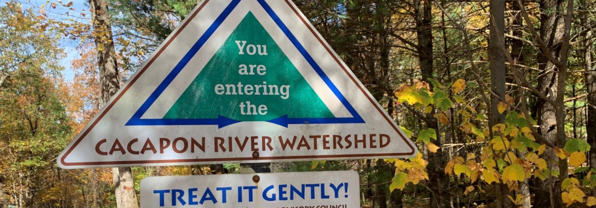
Sign entering into the Cacapon River Watershed provided by Cacapon Institute.
From Capon Bridge to Great Cacapon, from Lost River to Largent, the Cacapon River Watershed has so many great places to see, so much important work to do, and so many great people and organizations to support.
The roads from here to there are full of stones – roadblocks and barriers that stand in the way of protecting our rivers and defending our public lands. Yes, we must save these stones, for in each hides opportunities for you to get involved. Opportunities to protect your land and water. Opportunities to build your own castle.
So when you’re ready, take a hike to Big Schloss. It’s only a stone’s throw away.
To clean water and clean hands,
Tanner Haid, Eastern Panhandle Field Coordinator


